
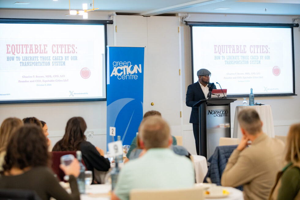

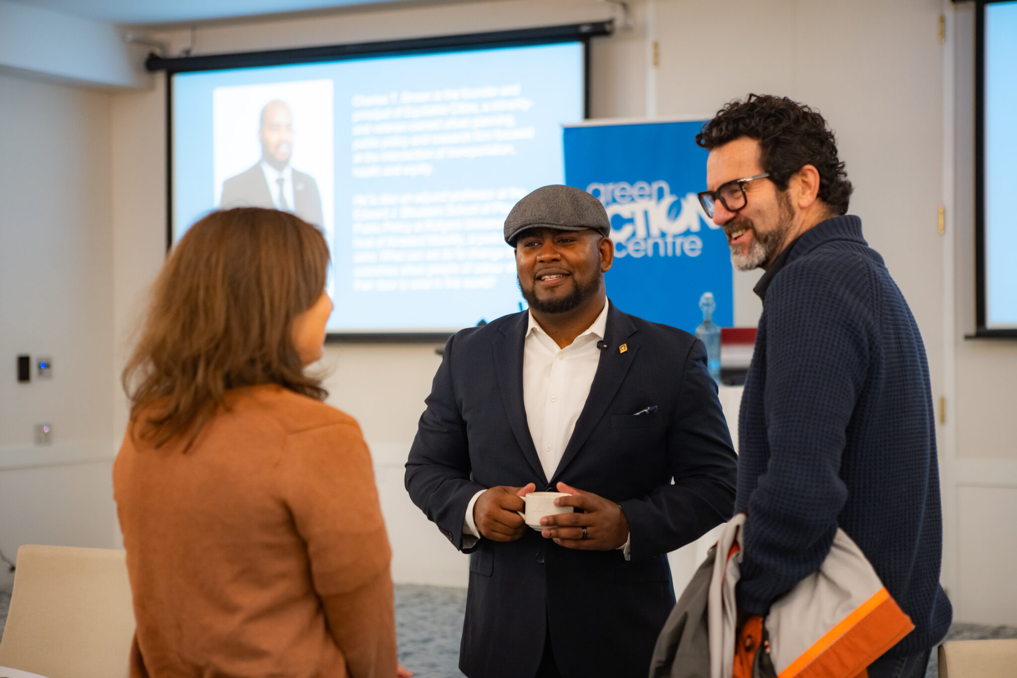
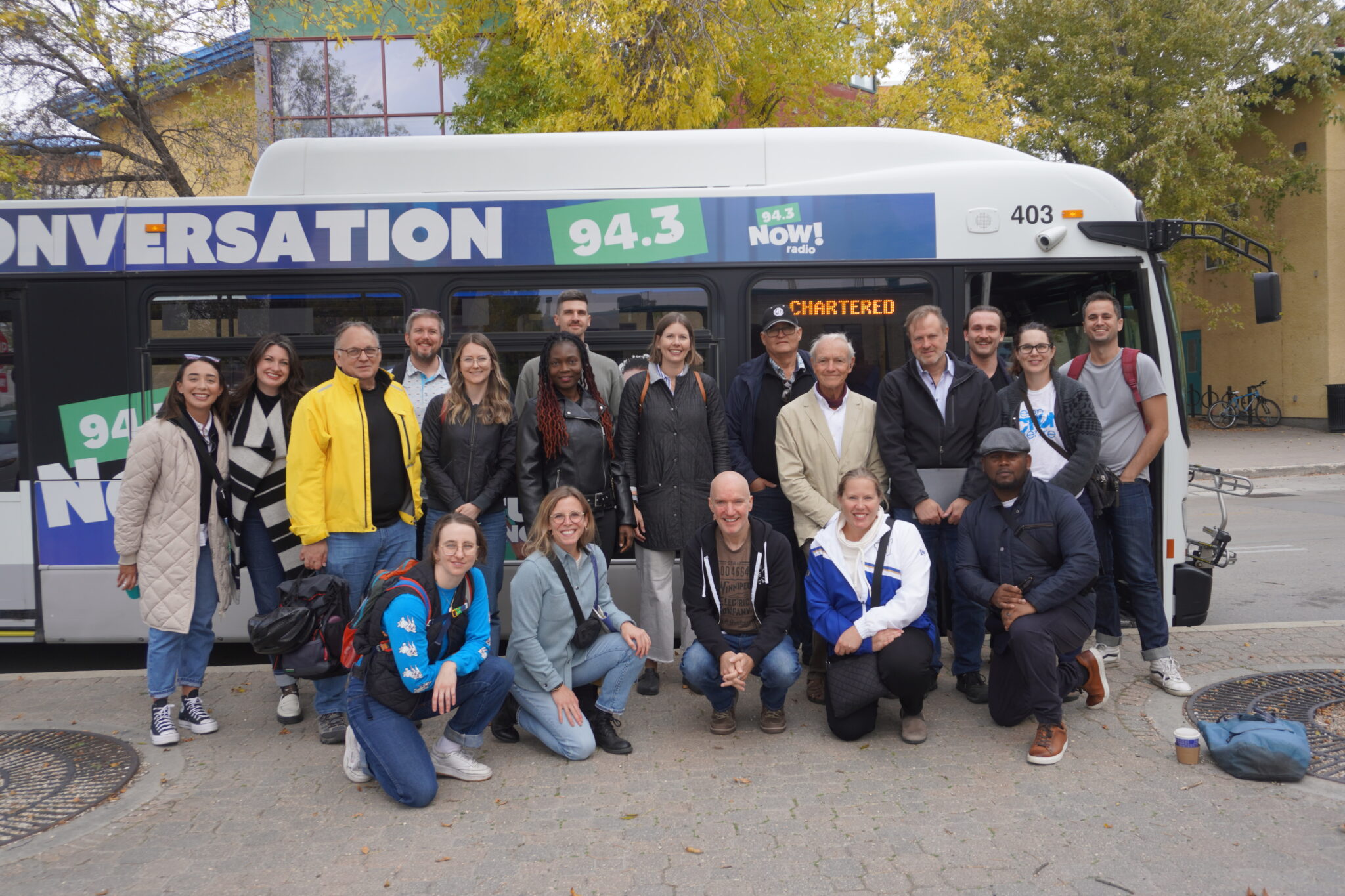


Bus Tour
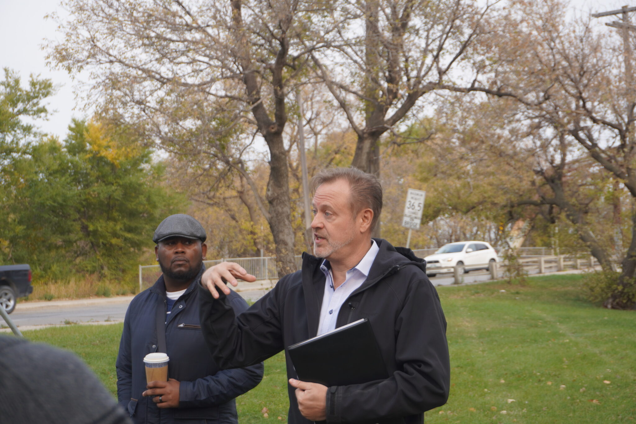
On October 10th, a group of city planners, architects, engineers, transit planners and active community members met with Charles at The Forks. The group hopped aboard a Winnipeg Transit bus and headed to three destinations.
THE ARLINGTON BRIDGE
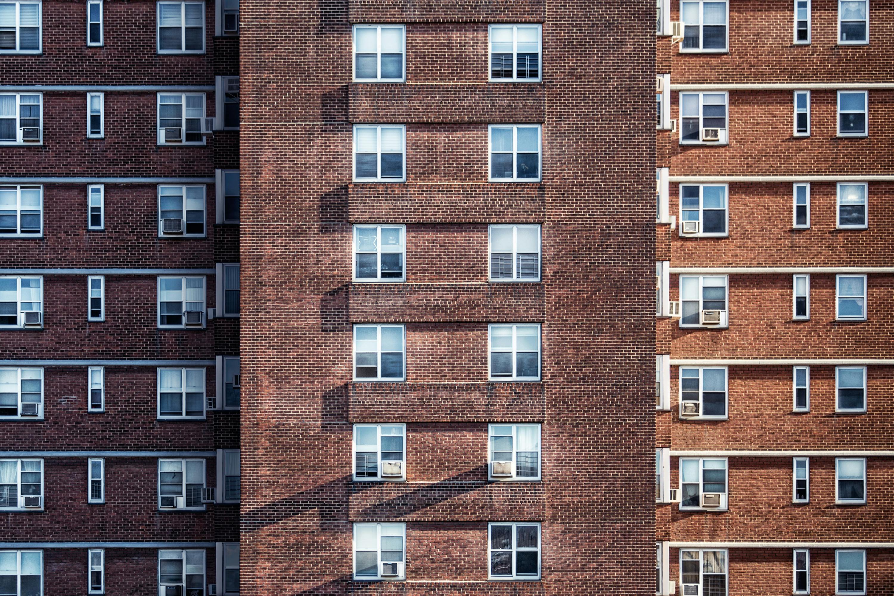
The first stop was the Arlington Bridge. The group learned about the history of the bridge and the timeline leading to its closure in November 2023. Charles shared his observations from the bus trip from The Forks to the base of the bridge, observing how starkly things changed as we went under the train tracks at Higgens and continued North on Main. The pattern of disinvestment is very noticeable, but at the same time Charles spoke about the “flavour” and character on the North side of the Arlington bridge, and how the neighbourhood is alive, while the downtown area feels more lifeless.
The loss of the Arlington Bridge is a direct cause of “arrested mobility’ to the people who live in the North End. These folks now have to travel much further to access crossings at Salter or McPhillips. As we were discussing the bridge, a resident of the neighbourhood joined our group to engage in our discussion and to thank us for drawing attention to the loss of this bridge. He commented that “those people on the south side wouldn’t have to put up with this”. Residents of the city know when they are being left behind by city investment and disinvestment.
As we spoke about opportunities for the future of the bridge, Charles’ advice was to look at the North End neighbourhood and to be sure to protect the folks living there from gentrification and displacement. “As an outsider, I see a neighbourhood that I would want to live in” Charles said of William Whyte. “When investment is made [whether it’s a redeveloped bridge or rail relocation] developers and outsiders will want to come into this neihbourhood. The people who already live here need to be protected now, so they can stay in their neighbourhood.”
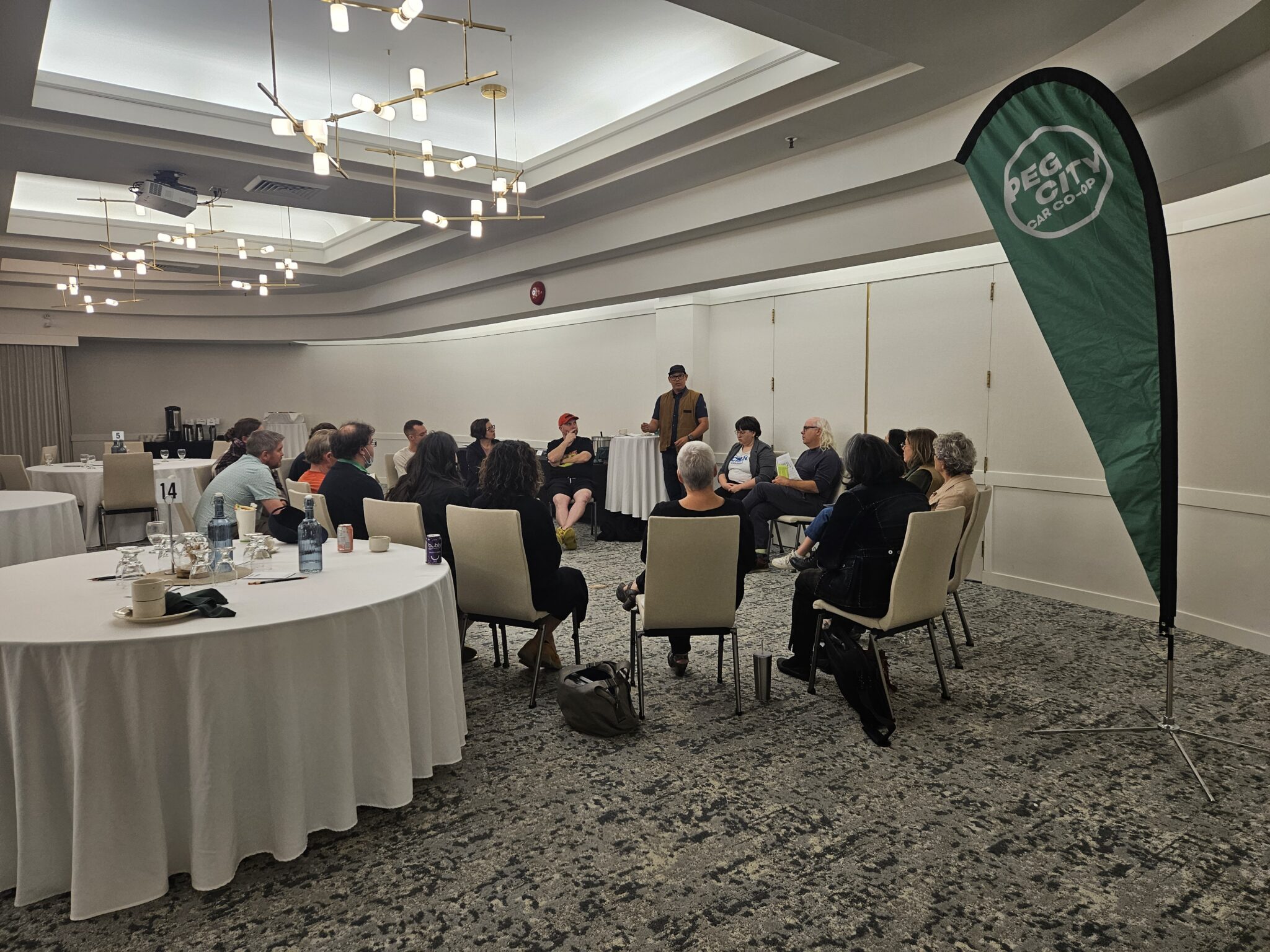
POINT DOUGLAS
The next stop of our trip was the Point Douglas neighbourhood, which is currently undergoing a neighourhood plan. We spent a majority of time in this neighbourhood as there are many examples here of opportunities and challenges. For example, zoning changes are going to make it easier for previously “industrial” land to become mix-use. Another major change for the neighbourhood will be running frequent transit down Sutherland Avenue (although that change will be delayed by a year due to new signal lights being needed, meaning the frequent transit will run for a year down Higgins Ave, which is blocked from most of the residents by the rail tracks).
Charles had many questions for the planners working on this project, who we were fortunate to have with us on the tour. We also talked about the challenges cities like Winnipeg face, in that we have such a small planning department for a city of our size. Planners are also working under the City of Winnipeg Charter, which means they are under Provincial authority. This can result in conflict when plans and strategies at the municipal level are then over-ruled by provincial boards.
The conclusion of our discussion is that Point Douglas is a neighbourhood with incredible potential and all of the fundamental building blocks. But, again, Charles cautioned that gentrification and displacement are a real threat to the neighourhood if the city does begin to reinvest. As we were reminded from the keynot presentation the day before “the people currently living in this neighbourhood need to see themselves in any drawings and renderings of the future.” We don’t want Point Douglas to be a neighourhood where trees planted today mature in time for outside investors to benefit from, while those who have built such a strong community through the challenges are left displaced from the rewards.
CASTLEBURY MEADOWS
Our final tour stop was in a new development in Winnipeg’s Northwest called Castlebury Meadows. This development has been a challenge for many provincial and city services. For example, the streets were built by the developer in a way that makes it impossible for school buses to access parts of the development. The city was also tasked with bringing basic infrastructure to the area for the development, and the design of the neighbourhood makes it so that that initial investment hasn’t been recovered by property taxes, meaning the city falls further behind every year through regular operating expenses.
This greenfield development, however, is now a home to many people. Despite the restrictive zoning of these types of developments, we noticed how community members were setting up home-based businesses to service the community (to access the “business area”, most folks would have to drive as the distance and walk/bike infrastructure is not easy to navigate). A google search in the neighoburhood will find local catering for food pick-up, nail and hair salons, music lessons and more. Due to the area being poorly serviced by transit, we saw mulit-car garages that were full, with vehicles spilling out onto driveways.
Planners noted how difficult they find it to go into neighourhoods like this after people have moved in, to install missing infrastructure like sidewalks. They find the residents are dependent on parking cars in driveways, leaving narrow space for a sidewalk and resulting conflict between neighbours who want a sidewalk, and those who don’t want to lose the space.
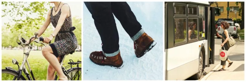
Charles noted that, even though these neighbourhoods have a higher household income than, for example, those who live around the Arlington Bridge, there is still arrested mobility. For example, new Canadians drawn to this new housing from abroad will often have multi-generational households. How can we ensure seniors, as well as young children, can safely move around the development without a vehicle? How can we ensure seniors can access businesses and services on foot, by transit or with an assisted device, like a scooter?
We discussed how cities are going to continue to approve greenfield development (in Winnipeg, our goal is 50% infill, 50% greenfield), and we have to build with mobility in mind. The group discussed the tension that can exist between outside developers and city planners, and how we sometimes lose out on new developments being built to adopted plans and standards, due to politics. We must ensure greenfield developments don’t have “arrested mobility” built-into them from day one, as that is unfair to those who will live there for decades to come.


.jpg)

.JPG)